


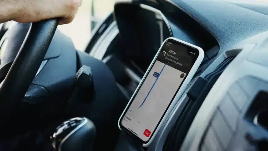
Most people use Google Maps to get from one place to another. It helps us avoid traffic, find faster routes, and reach our destination without getting lost. But Google Maps can do much more than basic navigation.
Over the years, Google has added several useful features that many users are not aware of. Some help while driving, others make daily life easier, and a few do not even involve travel at all.
Here are some of the best hidden features you should know about.
1. Report Road Hazards and Traffic Issues
While Waze is known for community reporting, Google Maps also allows users to report road incidents.
While navigating, tap the “Report” button to notify others about accidents, traffic slowdowns, construction work, lane closures, disabled vehicles, obstacles on the road and police activity
If multiple users report the same issue, it becomes visible to other drivers in the area.
2. Use One-Handed Gestures
Google Maps can be controlled with simple gestures, which is useful when you only have one hand free.
- Double-tap and slide your finger up or down to zoom in and out.
- Rotate two fingers on the screen to change map orientation.
- Swipe up or down with two fingers to adjust the viewing angle.
These shortcuts make navigation smoother without constantly tapping buttons.
3. Find and Save Parking
Finding parking can be stressful in busy areas. Google Maps can show how full certain parking lots are while you are navigating.
In some cities, you can also pre-book parking through links provided in the app.
Once you park, press and hold the blue location dot and select “Save parking.” A yellow pin will mark your parking spot for up to 24 hours, making it easier to find your car later.
4. Share Your Live Location
Instead of sending updates about your arrival time, you can share your live location.
While navigating:
- Swipe up from the bottom of the screen.
- Tap “Share trip progress.”
- Select a contact or app to share the link.
The sharing will automatically stop when you arrive, or you can end it manually.
5. Change Your Vehicle Icon
You do not have to stick with the default arrow during navigation.
Start a route, tap the vehicle icon on the screen, and choose from different vehicle designs. Some options even allow colour changes, adding a bit of personalisation.
6. Get Suggestions Using Gemini
Google’s AI tool, Gemini, is integrated into Google Maps.
You can type prompts like, fun activities near me, good dinner spots nearby and more.
It helps you discover places and ideas, especially when you are in a new area.
7. Travel Back in Time with Street View
Through Google Street View, you can view older images of a location.
Open Street View and select “See more dates” to view past images. This allows you to see how a place has changed over time.
8. Book a Ride Share
If you do not want to drive, Google Maps can help you find ride-sharing options.
When choosing directions, select the ride-hailing icon. The app will show available services, estimated prices, and arrival times. You may need to complete the booking in the respective ride-sharing app.
9. Order Groceries
In select regions, Google Maps allows you to order groceries directly from certain supermarket chains.
Search for a store and tap “Place an order.” The app will redirect you to the store’s website or a delivery service. If you choose pickup, the store may receive your arrival time.
10. Find EV Charging Stations
If you drive an electric vehicle, Google Maps makes it easier to locate charging stations.
It can show nearby chargers, real-time availability and compatible charging types.
You can update your vehicle settings in the app to see chargers that match your car.
So, if you have only been using Google Maps for directions, it may be worth exploring these tools. You might discover that it can help you in ways you did not expect.
Also Read: Google Maps Restricts Reviews And Images In New ‘Limited View’ Mode